


- EDITIONS:
 Spanish News Today
 Alicante Today
 Andalucia Today
PROPERTY SEARCH

PROPERTY SEARCH
Walking in the Lorca countryside, the Las Atalayas route around the village of Coy
A 14-kilometre route in Lorca which reaches 1,100 metres above sea level
 This 4-hour walking route is based in the village of Coy, one of the furthest north in the huge municipality of Lorca, about 850 metres above sea level on the southern slopes of the Sierra de la Lavia next to the source of a natural spring (although the route rises to 1,100 metres above sea level). This is an area of deep-rooted traditions including the creation of brightly coloured “jarapa” rugs and carpets and various meat products.
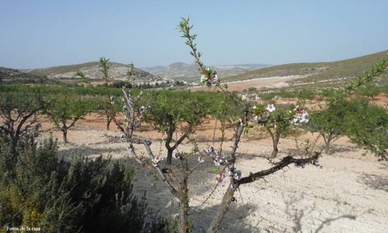
The walk begins in the Plaza de Casa Granda in the village, alongside the hostel of the same name, and follows Calle Noguera Bana before heading off left to a recreational area and passing through small crop fields: take care with the various crossroads along the way! Cross a tarmacked path after 2.5 km and the route goes up the Collado de los Venenos among pine and almond trees: after rounding the hill and leaving the pines behind you reach the Cortijo de las Atalaya at 7.2 km, where there is one of the most spectacular trees in the Region of Murcia. This is the “Carrasca de la Atalaya”, some 400 years old and measuring 14.35 metres in height and 5 metres around.

For more local information including news and what’s on go to the home page of Lorca Today.