


- EDITIONS:
 Spanish News Today
 Alicante Today
 Andalucia Today
The PR-MU 59 walking route in Sierra Espuña, the Sendero de la Umbría de Peña Apartada
A 6.57-kilometre hike up to Collado Bermejo in the Alhama de Murcia mountains of Sierra Espuña
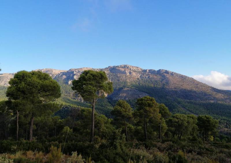 This fairly testing hike in the higher ground of Sierra Espuña is home to a wide variety of plant life as well as a fairly impressive range of mammals, reptiles and birds, including large birds of prey, but the most salient characteristic along the trail is the predominance of the pine trees with which the area was reforested under the supervision of Ricardo Codorniu in the late 19th century.
The uphill route begins at the visitors’ centre named after Codorníu and sets out along the wooded path to the rest area of the Campamento de los Exploradores, following white and yellow markers. Leaving the rest area to one side, walkers head uphill and on the second tight bend take another path off to the left, leading up a series of fairly steep rocky steps.
This area is thickly populated by wild rosemary and juniper bushes and kermes oaks, and the path continues to climb right up to the firewall which has been created in La Moriana. This is a Good spot for a breather before following the firewall upwards - the steepest part of the climb, but the reward is that before you reach the actual track known as the “Sendero de la Umbría de Peña Apartada” you can look back and enjoy a panoramic view out over the "badlands" of Barrancos de Gebas.
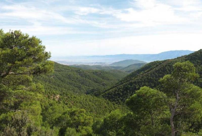 All along the route it is possible to see vestiges of the human history of Sierra Espuña in the shape of old ditches, walls and terraces shored up with rock, most of them dating from the reforestation of around 130 years ago. The micro-climate up in the mountains (the Collado Bermejo is at 1,201 metres above sea level, only about 100 metres lower than Ben Nevis), especially on the northern-facing side, leads to a rich green vegetation as the pine trees mingle with large examples of holm oak. In autumn, the different browns, greens and oranges change the view substantially, and it is possible to see the courses of the run-off channels and the gullies which have formed in this unique landscape within the Region of Murcia.
The last part of the route is almost flat and there is time to look out, through gaps in the trees, at the north of the majestic Morrón de Alhama (or Morrón Chico) and the Morra de las Moscas, the highest points in Sierra Espuña.
Finally, the path leads to a wide-open area which is a popular viewing point, the “mirador” of Collado Bermejo, and here it is from here that the best views of the actual Peña Apartada, after which the trail is named, are to be found.
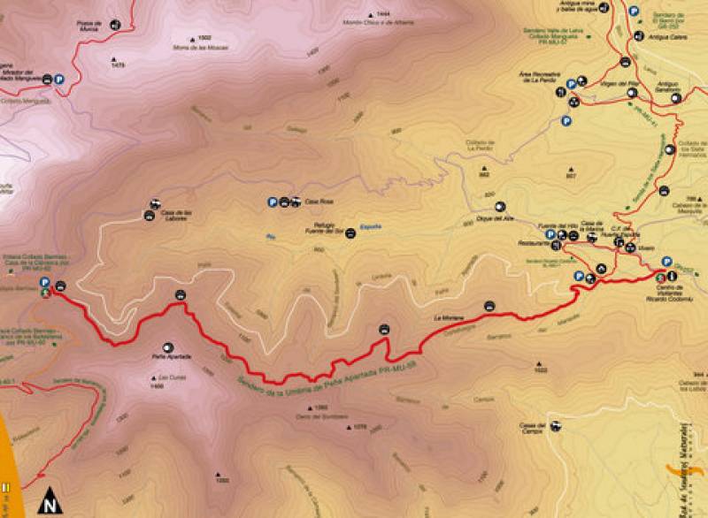
Time needed: approximately two and half hours of actual walking
Start: Centro de Visitantes "Ricardo Codorníu” 30S / X630943/Y4191043
End: Collado Bermejo. 30S / X626078 / Y4190899
Climb: 426 m
Descent: 10 m
For those who prefer walking downhill to uphill, it is of course possible to start at Collado Bermejo and make your may down the mountain rather than up it!
For more local events, news and visiting information contact the tourist office (telephone 968 633512) or go to the home page of Alhama Today.