Date Published: 05/12/2024
Spain as cold as Moscow this weekend: Weather forecast December 5-8
ARCHIVED ARTICLE -
The first true cold snap will arrive in parts of Spain this December bank holiday weekend
Average temperatures on Sunday December 8
It could finally be time to pull out those winter woollies as it looks as though the first real cold snap of the season is on its way, right on schedule to hit during
the December bank holiday weekend.
After a front enters the country through the Cantabrian Sea on Saturday, a northerly flow will take over Spain, dragging with it a very chilly air mass that will cause temperatures to plummet. This will continue for several days, with the State Meteorological Agency (Aemet) predicting that some cities like Burgos and Soria will be as cold as northern Europe.
It will only get colder as the days go by and at the end of the weekend, daytime temperatures could fall to as low as 15ºC in large parts of the country, with the exception of
Andalucía,
Murcia and the
Valencian coast, where the weather will still be mild.
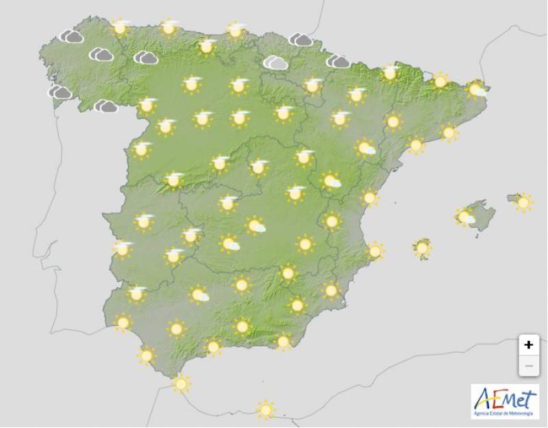
Thursday December 5
Before the cold snap arrives, Thursday should remain pleasant in much of the country with partly cloudy skies for the most part and plenty of sunny spells down south. Only the extreme north of Spain will feel the influence of an Atlantic front.
Both day and night-time temperatures will remain largely unchanged; the thermometers will hover around the low-20s in southern Spain and the Canary Islands, dipping down by a couple of degrees everywhere else.
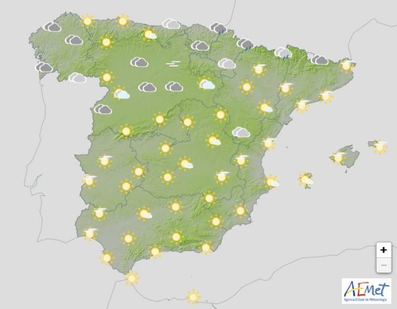
Friday December 6
The weather will again be settled on Friday with predominantly cloudy skies or intervals of high clouds. Galicia, Cantabria and the Pyrenees can expect more overcast skies and some scattered rain, but it will be dry in the rest of the country.
The mercury will rise by a degree or two in the southeast and the Balearic Islands with few changes expected elsewhere.
Yellow weather alerts for strong winds have been activated in the Valencian Community and the Balearic Islands on Friday, and a fog warning has been issued in Extremadura.
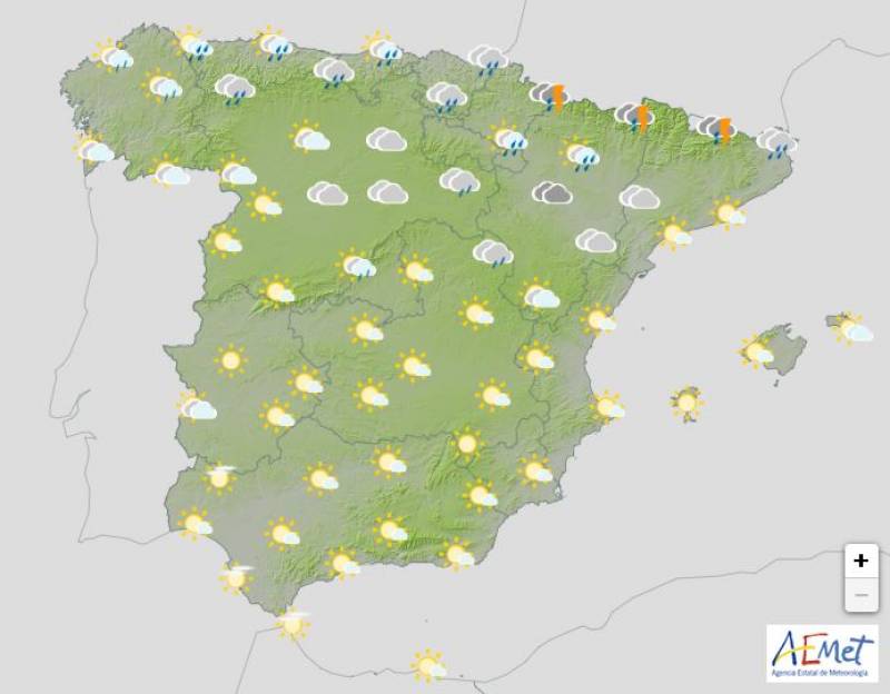
Saturday December 7
Saturday is when the real change will arrive. A cold front associated with a deepening storm over central Europe is expected to affect the north of the country, leaving abundant cloudiness with rain in most parts.
After the front passes, an arctic air mass will burst in, causing the snow level to plummet, going from 2000 metres at the beginning of the day to 900/1200 in the northwest and 800/1000 in the northeast.
It will be a bit overcast everywhere and daytime temperatures will start to drop across the board.
Catalonia has been issued with an orange warning for snow and blustery sea conditions. Yellow alerts for winds and/or dangerous waves have been activated in Aragon, Asturias, the Balearic Islands, Cantabria, Castilla y Leon, Extremadura, Navarra, the Basque Country and the Valencian Community.
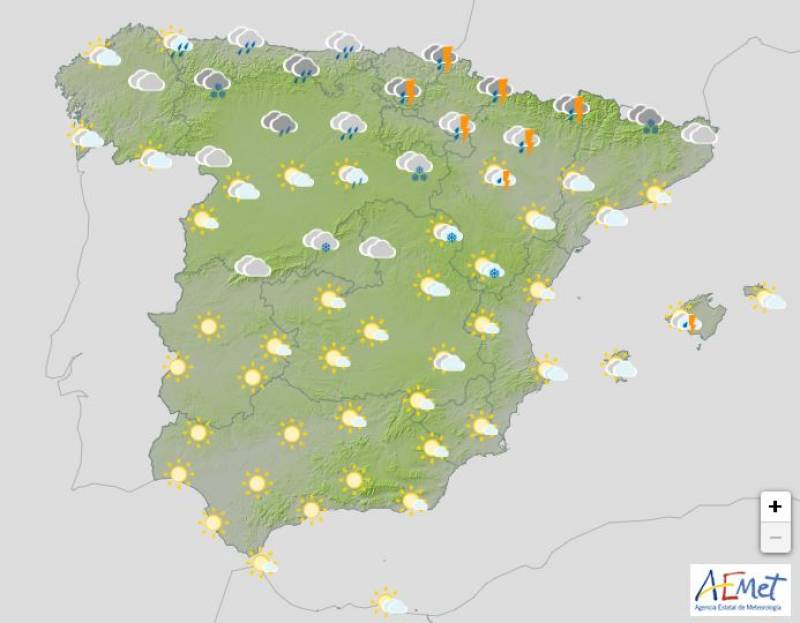
Sunday December 8
During the day, the deepening of a low pressure system over central Europe, together with the positioning of an anticyclone over the North Atlantic, will favour the entry of an Arctic air mass over mainland Spain and the Balearic Islands, leaving abundant cloudiness and heavy rain affecting most of the northern half of the country and the archipelago.
The snow level will fall as low as 500 metres and there’s even a chance of some light dustings in mountainous areas of the southeast. For the most part though, southern Spain can expect mostly cloudy skies but generally dry weather.
Temperatures will experience a general and sharp drop throughout the country, with the mercury failing to hit 20ºC in any of the main cities, barring the Canary Islands.
Images: Aemet
article_detail

|


